|
| |
| |
| |
| Maximum depth 5 m below loch datum |
| |
| |
| |
| |
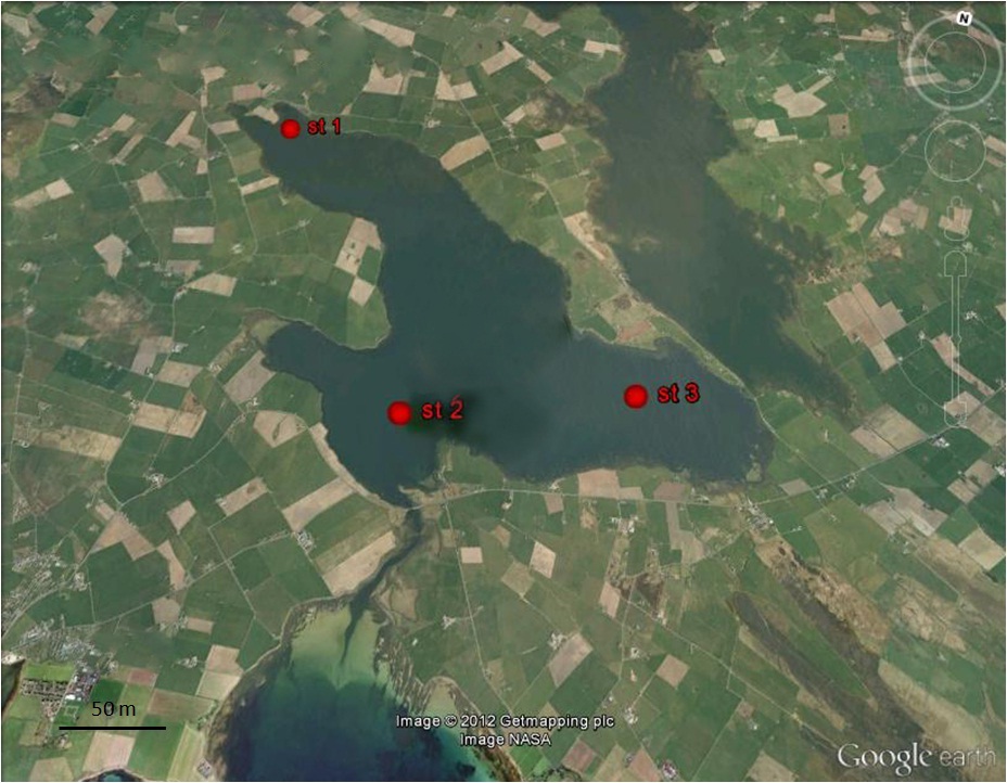
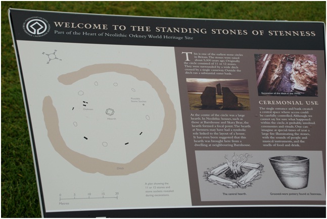
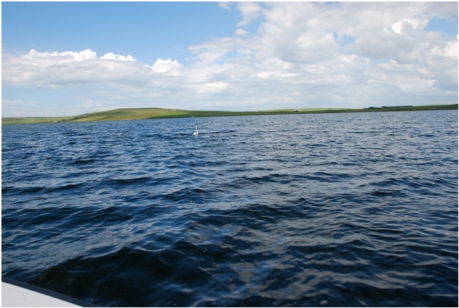
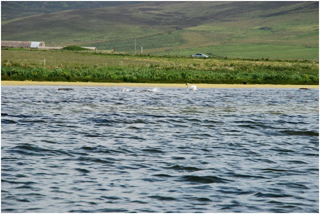
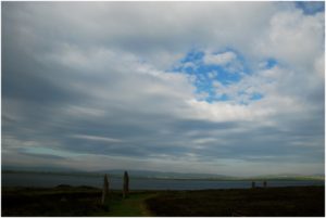
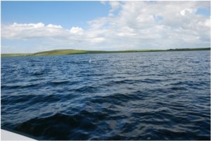
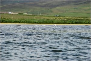
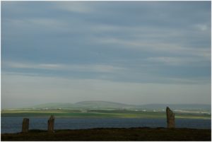
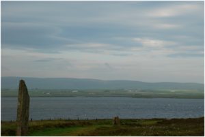
is the largest lagoon in Britain, at 6.2 km in lenght and 860 ha. It is a large saline inlet located north-east of Stromness and connected to the sea with a channel with subtidal still, The Bush.
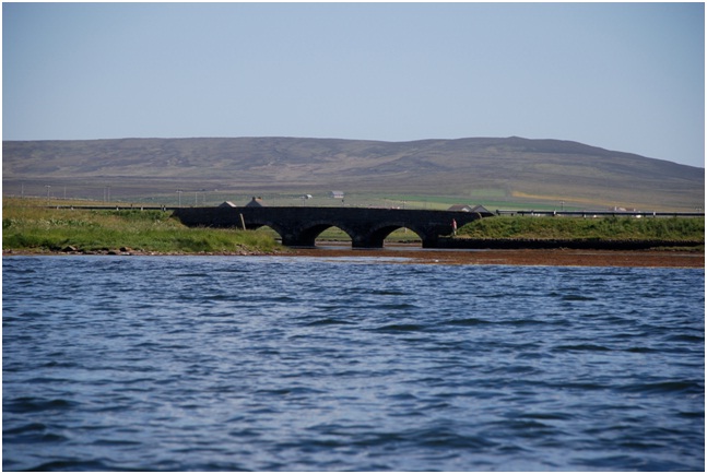
At the eastern corner sluices connect the lagoon to the southern end of the Loch Harray, a freshwater loch. Loch of Stenness has a maximum depth of 5 m and a tidal range about 0.3m. The salinity ranged between 9‰ and 17‰. There is little disturbance from wave action and tidal currents are limited to the areas around Loch of Harray sluices and The Bush.
The majority of the bottom of Loch of Stenness consisted of soft, flocculent mud which lies between 3 and 4m depth.
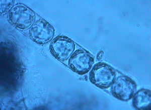
This habitat made up the majority of the southern and of the loch and exended about two-thirds of the way up the north-western arm where the sediment was deeper than 3m. The mud was dominated by small sand gapers M. arenaria with noumerous mud snails H. ulvae on the sediment surface. Dense algal mats, predominantly of C.
sericea, covered the sediment surface.
In the two western arms of lagoon, the sublittoral zone between 0 and 0.5m depth was muddy. The habitat was dominated by large plants of the ponweed
Potageton sp., coated by a mat of filamentous green algae including
Enteromorpha spp. and
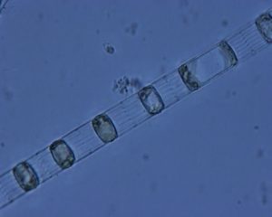
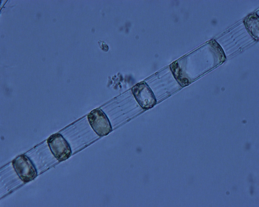
Cladophora liniformis and filamentous green algae. Between 1.5 and 3.5 m depth, the soft mud was dominated by a dense blanket of the filamentous green alga
Cladophora liniformis covering pondweed
Potageton sp. plants.
At the western extremity of the north-western basin and extending along the northen edge of he lagoon, the sublittoral fringe zone consisted of pebbles and cobbles on mud. This habitat was dominated by the serrated wrack
Fucus serratus with the red algae
Mastocarpus stellatus and
Polyides rotundus. Between 1.5 and 3.5 m depth on the northen edge of the loch, this graded into boulders and large cobbles. In the south-western corner two streams enter the loch, and between 0.1 and 0.3 m depth the bottom comprised cobbles and pebbles. Here were present
Fucus ceranoides,
Fucus vesciculosus,
Phyllophora pseudoceranoides and the green alga
Cladophora rupestris, red alga
Hildenbrandia rubra and filamentous green algae.
Along the southern margins of the loch there was a mixture of small boulders, cobbles, pebbles and fine sand. This habitat was dominated by
F. serratus,
Cladophora sericea,
F. vesciculosus. Close to the sluice gates, at the eastern and of the Loch of Stenness and at the southern end of Loch of Harray, the substratum between 0.1 height and 0.1 m depth was cobbles, pebbles and gravel. In the south-western corner two streams enter the loch, and between 0.1 and 0.3 m depth the bottom comprised cobbles and pebbles.
Fucus ceranoides,
Ruppia sp., filamentous green and brown algae, including
E. intestinalis and
Cladophora spp. were present.
×
Water in silled lagoons is retained at all states of the tide by a barrier
of rock (the ‘sill’). There is usually little tidal rise-and-fall.
Seawater input is regular (i.e. on most tides) and although salinity
may be seasonally variable, it is usually high, except where the level
of the sill is near to high tide level. These lagoons are restricted
to the north and west of Scotland and may occur as sedimentary basins
or in bedrock (where they are called ‘oban’). Muddy areas are
dominated by filamentous green algae, amongst which may be colonies of
rare charophytes, such as foxtail stonewort Lamprothamnium
papulosum. There may be beds of tasselweed Ruppia spp.
and, in the deeper most stable lagoons, eelgrass Zostera marina.