|
| |
| |
| |
| Maximum depth 0.4 m below loch datum |
| |
| |
| |
| |
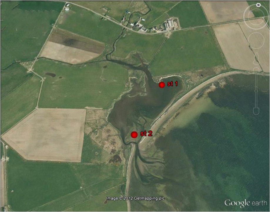
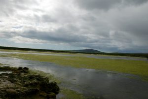
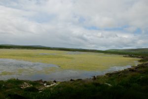
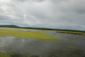
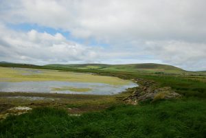
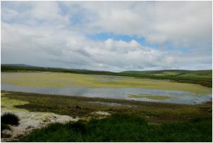
is a silled lagoon at the end of Bay of Isbister on the north-east coast of Mainland Orkney.
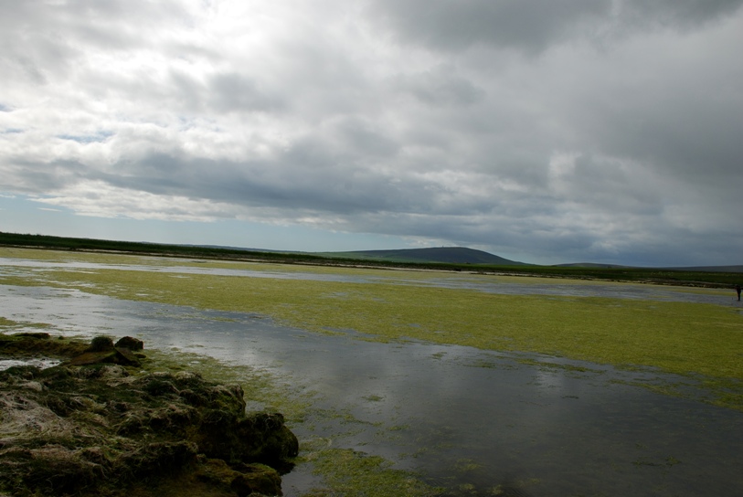
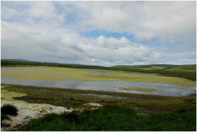
The lagoon is connected to the Bay of Isbister via narrow channel through a shigle spit. The lagoon is 0.4 km long, has a maximum depth of 0.4 m and a tidal range about 0.5m. The salinity range was estimated to be between 5‰ and 18‰. There is substantial freshwater input from a stream which enters at the north-western corner. There is a very little disturbance from tidal currents and wave action. The lagoon is surrouned by saltmarsh and backed by pasture land.The main body of the lagoon, between 0 and 0.4 m depth, consisted of sandly gravel overlain by a layer of fine sand.
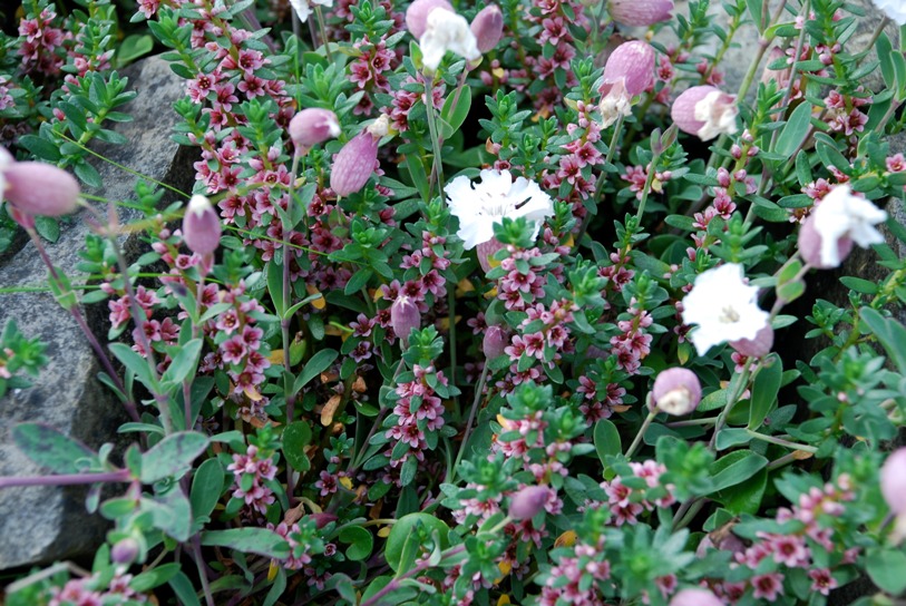
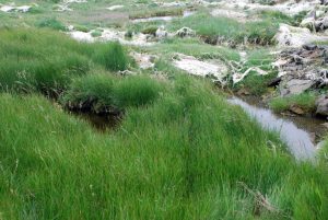
The sediment was dominated by the green alga
Enteromorpha intestinalis with a few small areas of the tasselweed
Ruppia sp. And the brackish-water wrak
Fucus ceranoides. There were burrows of the amphipod Corophium volutator in the sediment and the mud snail
Hydrobia ulvae was present on the surface of the mud.
×
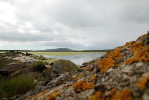
Water in silled lagoons is retained at all states of the tide by a barrier
of rock (the ‘sill’). There is usually little tidal rise-and-fall.
Seawater input is regular (i.e. on most tides) and although salinity
may be seasonally variable, it is usually high, except where the level
of the sill is near to high tide level. These lagoons are restricted
to the north and west of Scotland and may occur as sedimentary basins
or in bedrock (where they are called ‘oban’). Muddy areas are
dominated by filamentous green algae, amongst which may be colonies of
rare charophytes, such as foxtail stonewort Lamprothamnium
papulosum. There may be beds of tasselweed Ruppia spp.
and, in the deeper most stable lagoons, eelgrass Zostera marina.