|
| |
| |
| |
| Maximum depth 0.4 m below loch datum |
| |
| |
| |
| |
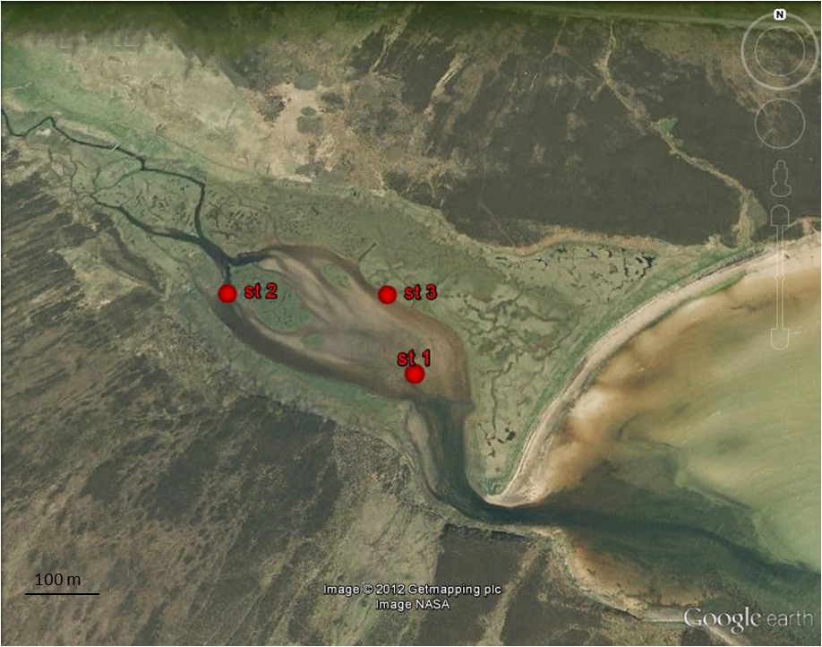
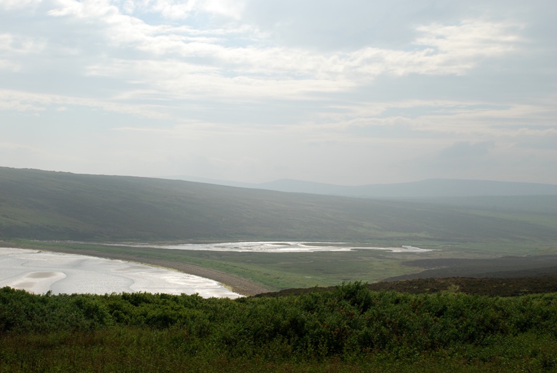
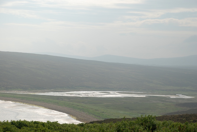
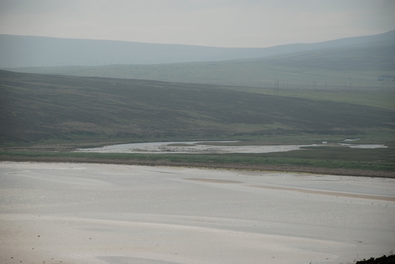
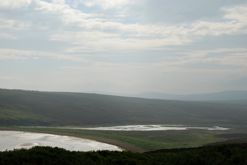
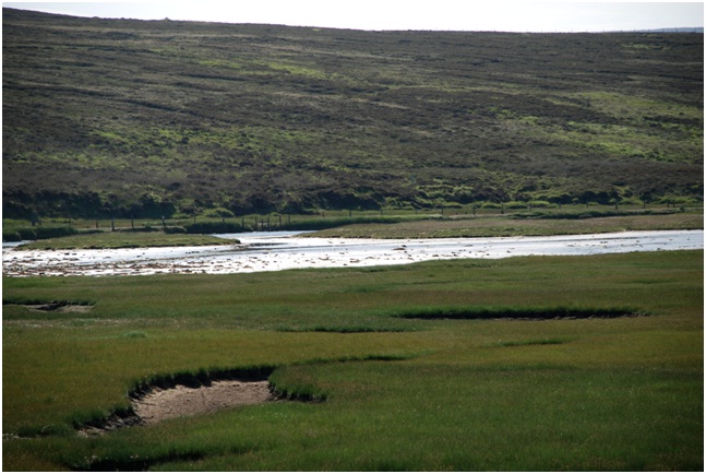
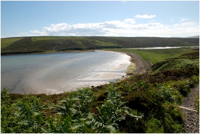
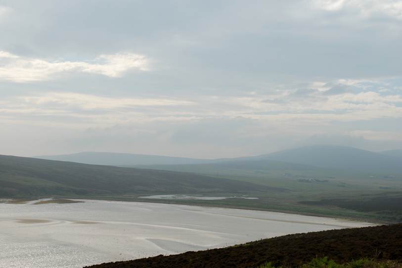
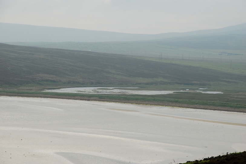
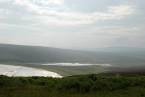
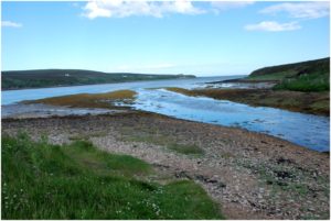
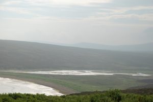
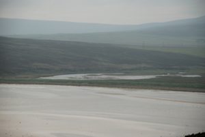
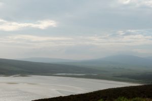
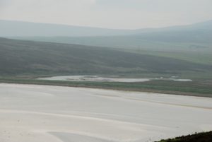
is a large lagoon located at the head of Waulkmill Bay on the south coast of Mainland. The lagoon is connected to the sea with a sill at high tide level.
The lagoon is 0.3 km in lenght, has a maximum depth of 0.3 m and a tidal range about 0.2m. Seawater enters the lagoon on most high tides, but the freshwater input from a stream at western end of Skaith is high enough to keep the salinity as low 2 ‰ at low tide.
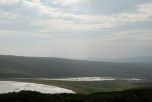
The salinity range was estimated to be between 2‰ eand 18‰.
There is a very little effect from wave action and tidal currents affect only the small area around the entrance channel.
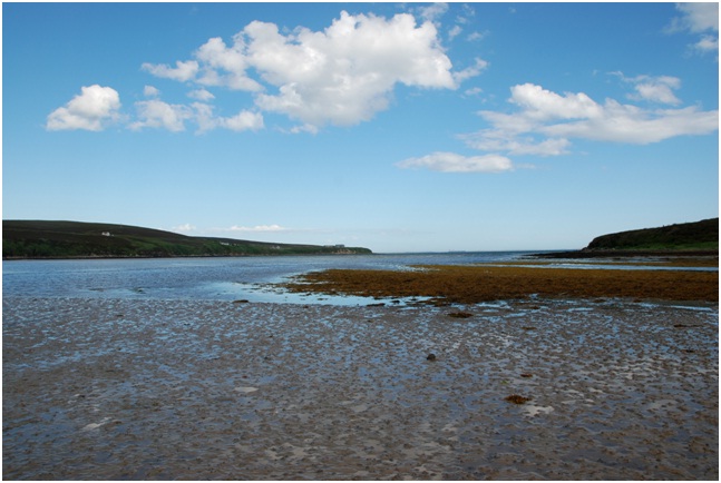
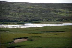
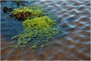
The lagoon, between 0 and 0.3 m depth,was a mixture of sand and gravel, covered by a thin layer of fine sand.
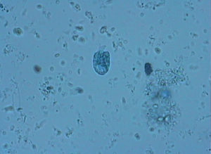
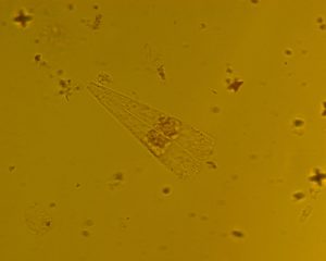
The sediment was dominated by the green alga
Enteromorpha intestinalis.Occasional clumps of the brackish-water wrak
Fucus ceranoides were present and colonised by epiphytic growths of ectocarpoid brown algae. The sediment had very sparse infauna and only the burrowing amphipod
Corophium volutator was recorded.
×
Water in silled lagoons is retained at all states of the tide by a barrier
of rock (the ‘sill’). There is usually little tidal rise-and-fall.
Seawater input is regular (i.e. on most tides) and although salinity
may be seasonally variable, it is usually high, except where the level
of the sill is near to high tide level. These lagoons are restricted
to the north and west of Scotland and may occur as sedimentary basins
or in bedrock (where they are called ‘oban’). Muddy areas are
dominated by filamentous green algae, amongst which may be colonies of
rare charophytes, such as foxtail stonewort Lamprothamnium
papulosum. There may be beds of tasselweed Ruppia spp.
and, in the deeper most stable lagoons, eelgrass Zostera marina.