|
| |
| |
| |
| Maximum depth 1.5 m below loch datum |
| |
| |
| |
| |
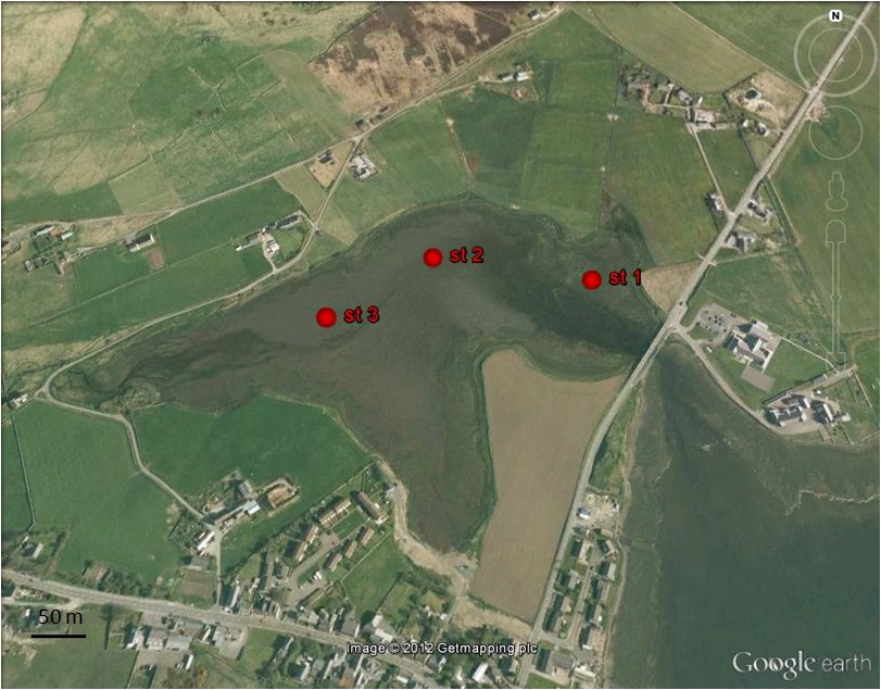
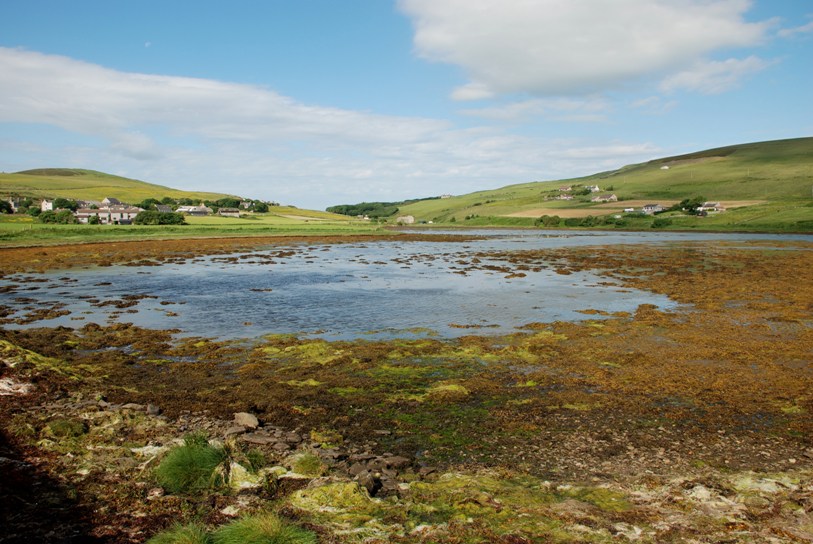
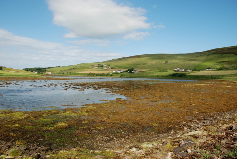
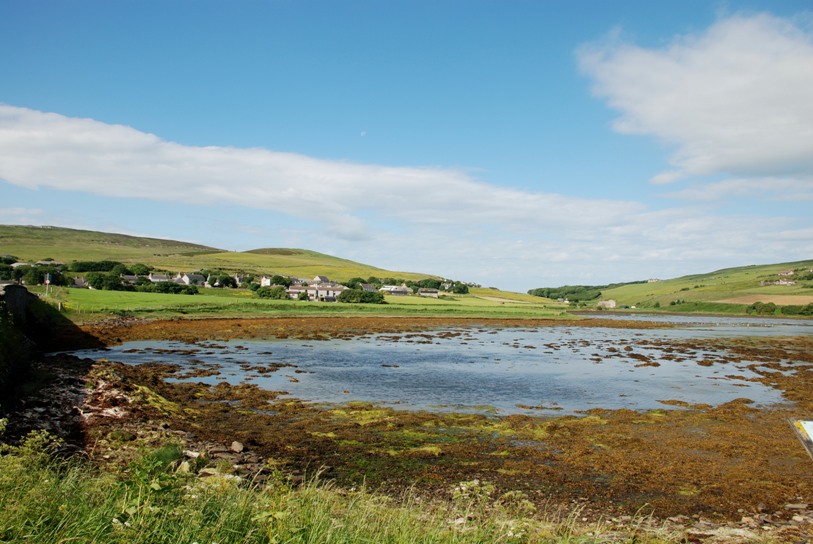
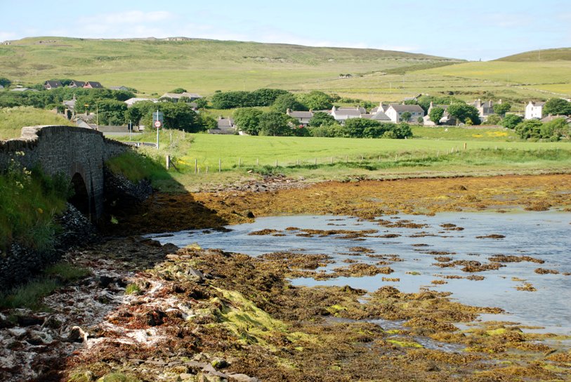
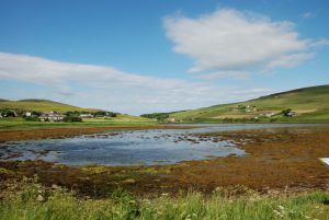
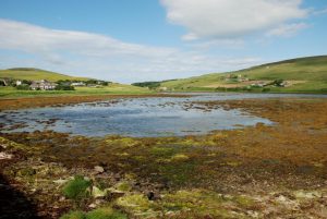
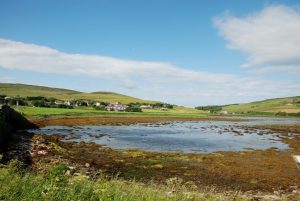
is located in north-east Mainland.
The lagoon is connected to the Bay of Firth via a subtidal channel under a road bridge. It is 0.7 km long, has a maximum depth of 1.5 m and a tidal range about 1.5m.
The western end of the lagoon receives substantial freshwater input from a stream.
There is substantial freshwater input from a stream which enters at the north-western corner.
There is a very little influence of from wave action and tidal currents are limited to the entrance channel where they run very strongly.
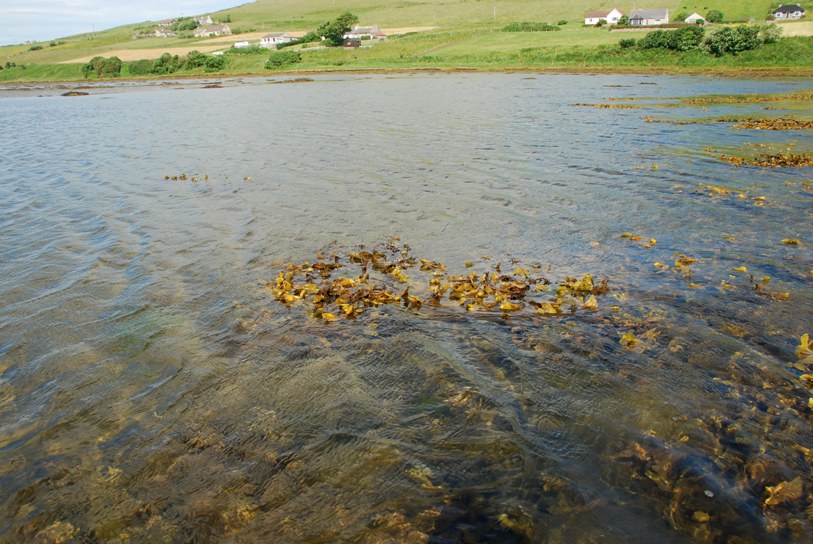
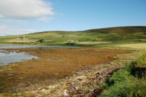
Where the stream enters the western end of the lagoon, the upper shore was muddy gravel with pebbles.
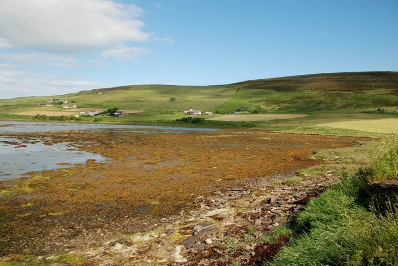
The upper to mid-shore zone at the western end of the lagoon is stony gravel with a slight covering of muddy sand. The upper shore in the remainder of the main basin consisted of cobbles, pebbles and gravel with some mud and fine sand in between. The mid-shore zone in the remainder of the lagoon consisted of muddy cobbles, pebbles and gravel.
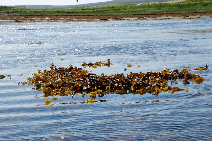
The sublittoral zone of the main basin consisted of fine muddy sand. The tidal rapids consisted predominantly of cobbles and pebbles.
×
Water in silled lagoons is retained at all states of the tide by a barrier
of rock (the ‘sill’). There is usually little tidal rise-and-fall.
Seawater input is regular (i.e. on most tides) and although salinity
may be seasonally variable, it is usually high, except where the level
of the sill is near to high tide level. These lagoons are restricted
to the north and west of Scotland and may occur as sedimentary basins
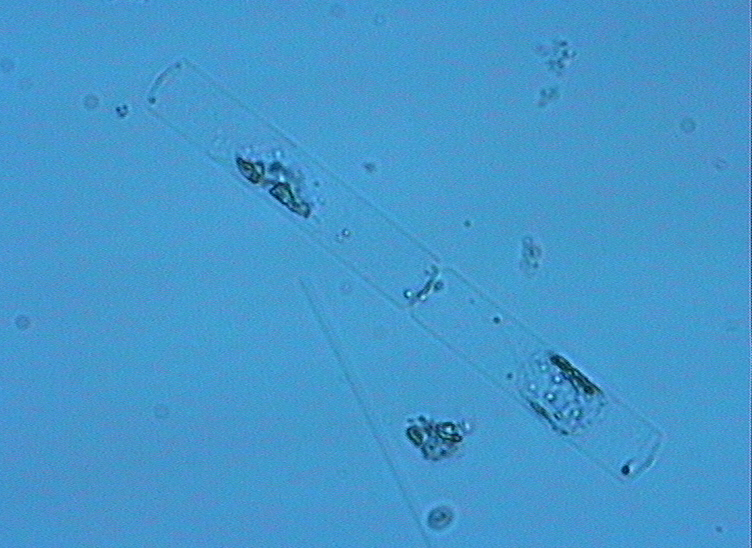
or in bedrock (where they are called ‘oban’). Muddy areas are
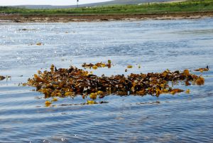
dominated by filamentous green algae, amongst which may be colonies of
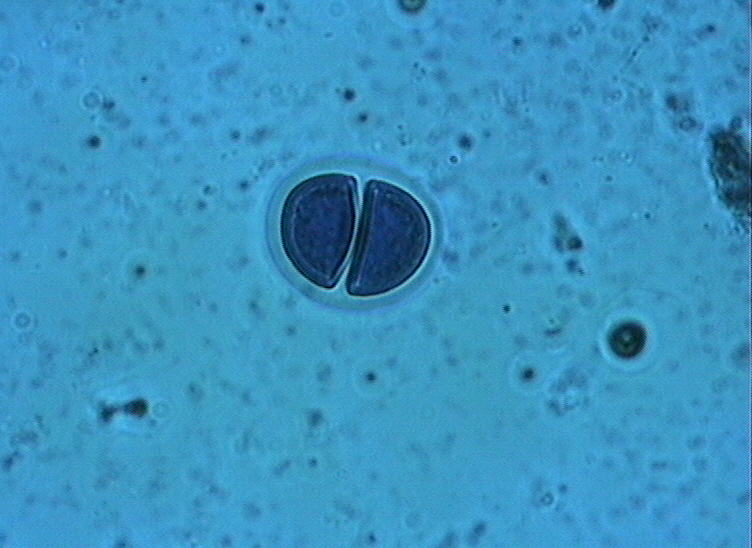
rare charophytes, such as foxtail stonewort Lamprothamnium
papulosum. There may be beds of tasselweed Ruppia spp.
and, in the deeper most stable lagoons, eelgrass Zostera marina.