Australia
Australia is a land of geological contradictions with some of the oldest features in the world alongside rocks which are in the process of formation. The continent is home to rocks dating from more than 3000 million years while others are the result of volcanic activity which continued up to only a few thousand years ago. Although the shape of Australia is due largely to tectonic Earth movements and long term changes in sea level, most of its topography is a result of prolonged erosion by wind and water. About 50 per cent of Australia’s rivers drain inland and often end in ephemeral salt lakes. Many of the features of the drainage pattern have a very long history, and some individual valleys have maintained their position for millions of years.
Australia’s present topography is the result of a long landscape history, which, fundamentally, started in the Permian Period when Australia was very near the South Pole, and much of the continent was glaciated by large ice caps. After the ice melted, parts of the continent subsided and formed sedimentary basins such as the Eromanga Basin in South Australia. By early in the Cretaceous Period, Australia was already so flat and low that a major rise in sea level divided it into three landmasses as a shallow sea spread over the land (1).
Australia is a land of extremes with temperatures ranging from highs of 40°C in the central desert regions to below freezing in the higher regions of the country’s southeast. Sometimes these extremes can be experienced on a single day. One of the most significant features of Australia’s climate is its long, hot and often dry summers. Rainfall in Australia is highly variable with low average annual rainfall over most of the continent and intense seasonal falls in the tropics. The rainfall pattern is concentric around the extensive arid core of the continent, which in the west and along parts of the Great Australian Bight extends to the coast. Around this arid centre there is a broken margin of more humid conditions which increases the level of precipitation as it nears the coast, particularly in the east of the continent. The effects of this widely varied rainfall pattern and Australia’s drainage system can lead to parts of the continent being in drought, but inundated by waters from rainfall thousands of kilometres away. This phenomena is most prevalent after heavy cyclonic rains in the north, which causes flooding in drought stricken areas in the south (2) .
Australia is the planet’s sixth largest country after Russia, Canada, China, the USA, and Brazil. At 7 692 024 km2, it accounts for just five percent of the world’s land area of 149 450 000 km2, and although it is the smallest continental land mass, it is the world’s largest island (1) .
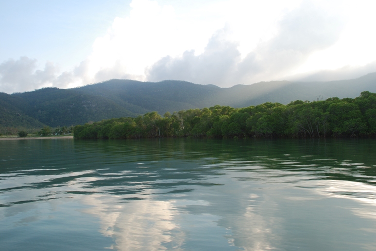
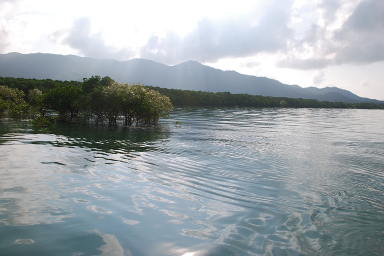
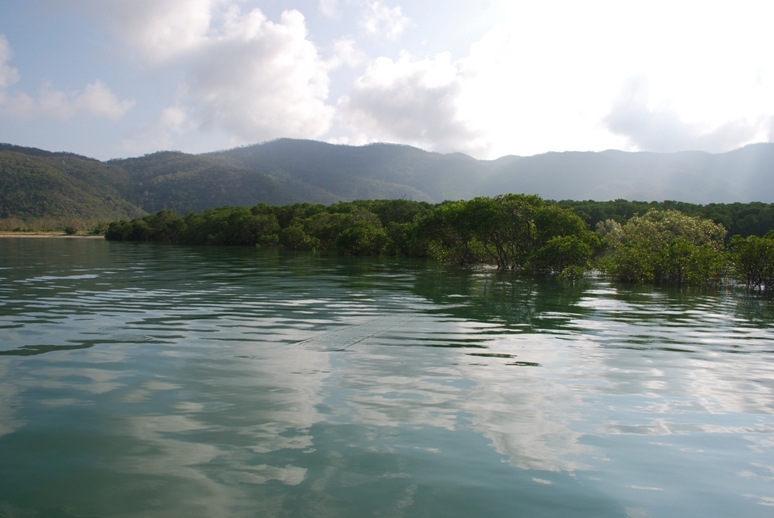
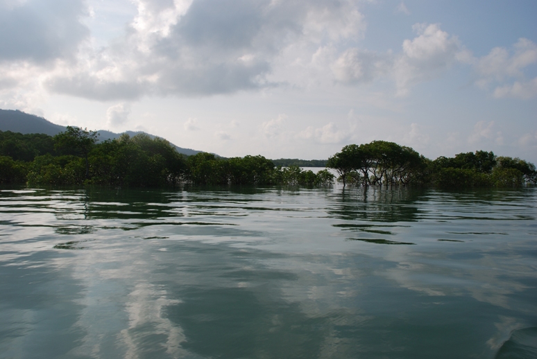
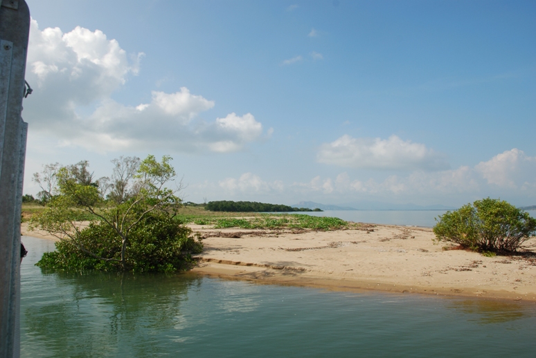
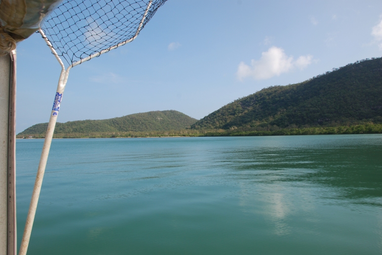
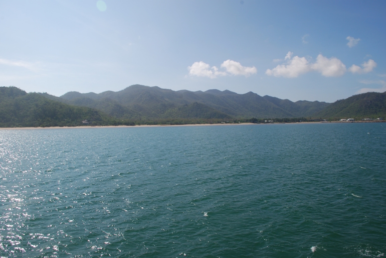
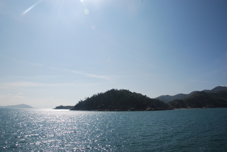
In addition to the mainland, Australia is surrounded by many thousands of small fringing islands and numerous larger ones, which, overall, amount to an area half the size of Tasmania. Almost 40 per cent of the total coastline length comprises island coastlines. As an island nation, coastlines play an important role in defining National, State and Territory boundaries (3) .
Australia’s oceans and seas include those off the mainland and its offshore territories in the Pacific, Southern and Indian Oceans as well as the Timor, Tasman and Coral Seas. Following a recommendation by the United Nations Commission on the Limits of the Continental Shelf (CLCS) on 9 April 2008, Australia has a confirmed outer limit to its continental shelf extending beyond 200 nautical miles from the territorial sea baseline associated with both the continent and its remote offshore territories (4) .
As a geographic and economic entity, Australia’s territory ranges far beyond its continental borders. The remote offshore territories are located over thousands of kilometres of ocean within the Pacific, Indian and Southern Oceans and the Coral Sea in an expanse extending from Antarctica almost to the equator. Overall, one of the seven Australian Territories remote from the mainland is Coral Sea Islands (5) .
The Coral Sea Islands Territory is made up of many small islands spread over an extensive geographic area extending east and south from the outer edge of the Great Barrier Reef and including Heralds Beacon Island, Osprey Reef, the Willis Group and 15 other reef/island groups. However, the coral and sand islands are quite small and the total area of all the islands making up Australia’s Coral Sea Islands Territory is only seven square kilometres. The Coral Sea Islands, which are administered by the Territories section of theAttorney-General’s Department, became a Territory of the Commonwealth in 1969 through the Coral Sea Islands Act (6) .
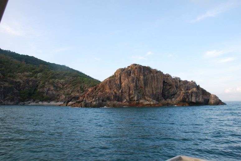
Being surrounded by ocean, Australia often is referred to as an island continent. As a continental landmass it is significantly larger than the many thousands of fringing islands ranging in size from small rocks which are not covered by water at high tide to some more than twice the size of the Australian Capital Territory.
Australia also has a number of large islands in the Pacific, Indian and Southern Oceans and the Coral and Timor Seas as part of its External Territories as well as several closer to the mainland which are larger than 1000 square kilometers (7) (8).
References
(1) http://www.ga.gov.au/education/geoscience-basics/dimensions/australias-size-compared.html
(2) http://www.ga.gov.au/education/geoscience-basics/dimensions/climatic-extremes.html
(3) http://www.ga.gov.au/education/geoscience-basics/dimensions/coastline-lengths.html
(4) http://www.ga.gov.au/education/geoscience-basics/dimensions/oceans-and-seas.html
(5) http://www.ga.gov.au/education/geoscience-basics/dimensions/remote-offshore-territories.html)
(6)http://www.ga.gov.au/education/geoscience-basics/dimensions/remote-offshore-territories/coral-sea-islands.html
(7) http://www.ga.gov.au/education/geoscience-basics/landforms/islands.html
(8) http://www.ga.gov.au/education/geoscience-basics/dimensions.html
(9) Lyndall Harvey, Environmental Scientist, C&R Consulting Pty Ltd. (2008). A suburb of National Parks and World Heritage status – Wildlife Conservation on Magnetic Island.
(10) http://queenslandplaces.com.au/magnetic-island
(11) Australian government. Department of Sustainability, Environment, Water, Population and Communities, 2010. EPBC Act policy statement 5.1 Magnetic Island, Queensland Region
(12) Members of Magnetic Island Community Development Assoc. Inc. and Magnetic Island Nature Care Assoc. Inc. (2004). Magnetic Island’s World Heritage Values. A Preliminary Assessment.